Map
Customize your radar screen
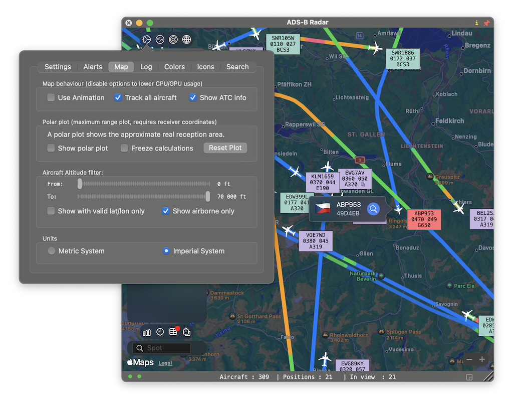
Map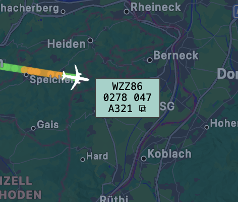
Display behaviour
The most common display option is to show an ATC (Air Traffic Controller) style information box next to the aircraft. The different colors make it easy to spot the altitude. The ATC Box shows callsign, altitude, speed and category/type. Aircraft can also be displayed as a simple icon which could animate to its new position. Click the globe icon on the map to switch the map from light to dark mode.
Polar Plot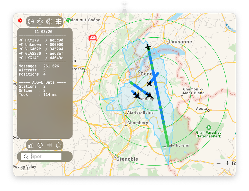
The real range of your receiver
The polar plot option will determine the exact reception range of the receiver, it will get more accurate over time as multiple aircraft from multiple directions are required to fine-tune the plot. Once the polar plot has been determined to a satisfactory accuracy, you are able to ‘freeze’ the calculations.
Altitude filter
Reduce the clutter
If you are only interested in viewing aircraft on a certain altitude band, let's say between 35.000 and 45.000ft, you can adjust the filter accordingly to show only these aircraft.
Additional options are to show only airborne aircraft (eliminating parked aircraft and airport support vehicles) and prevent cluttering the text console with aircraft that do not have a valid lat/lon position.
Units
Display preference
Select between imperial and metric reporting units. The JSON files (and aircraft) are standard reporting in imperial units.